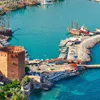
For those who like to travel and explore by bicycle, Alanya is an ideal place. We have compiled some of the routes that you can experience in Alanya for you.
Alanya - Gazipaşa
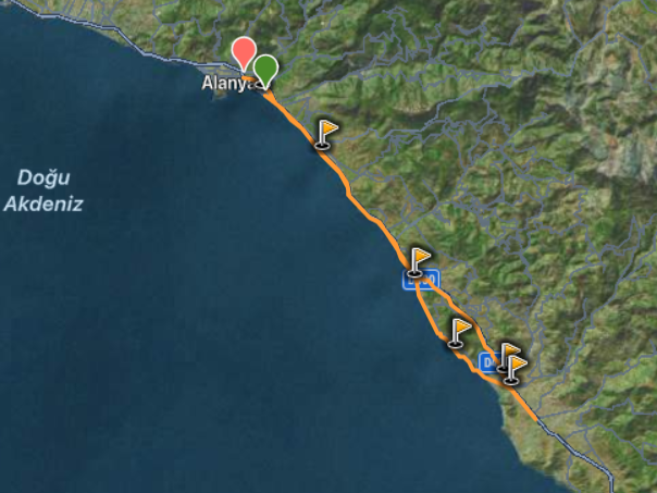
The route starting from Alanya continues to Gazipasa. The maximum elevation reached on the route is 539 meters. The minimum elevation is -12 meters. The degree of difficulty of the route is moderate difficulty. The distance is 96 kilometers.
Tosmur – Bikaci – Tosmur
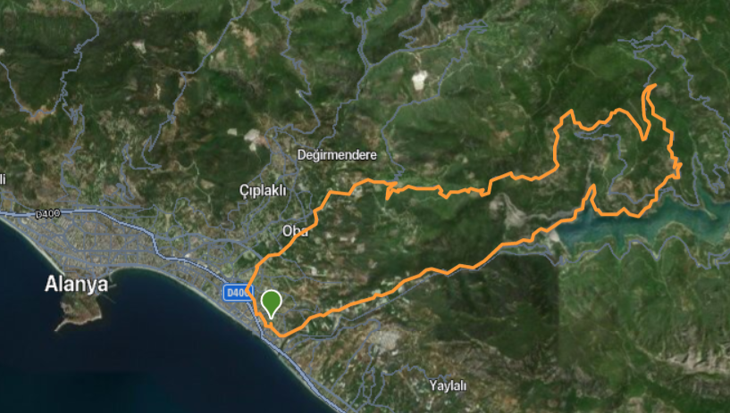
Starting from Tosmur, the route passes through the dim dam and gradually goes up. The route ends at Tosmur, where it begins. The maximum height on the route is also 719 meters. The minimum height is 2 meters. The technical difficulty level of the route is difficult. The distance is 40 kilometers.
Alanya – Konaklı Yatay Şelale – Alanya
The route starting from Alanya continues to Kargi tea and ends back in Alanya. The distance of the route is 61 kilometers. The technical difficulty level is medium difficulty. The maximum elevation on the route is 292 meters, and the minimum elevation is -7.
Kestel – Seki – Kestel
The route starting from Kestel continues to Seki and then ends by turning to Kestel. The technical difficulty level of Rota is medium difficulty. The maximum elevation on the route, the distance of which is 68 kilometers, is 316 meters, and the minimum elevation is -5.2 meters.
Alanya – Gazipaşa – Alanya
The route starts from Alanya and continues to Gazipasa and ends with the return to Alanya. The route is 83 kilometers long. Its maximum elevation is 262 kilometers, and its minimum elevation is -5 meters. The technical difficulty level of the route is medium difficulty.
Alanya – Dim Barajı
the maximum elevation of the route, consisting of a distance of 44 kilometers, is 448 meters, and the minimum elevation is -13 meters. The route of medium difficulty includes beautiful landscapes.
Information about the routes is taken from the Wikiloc site. More detailed information about the routes can be found here.
0 Comments











.webp)

.webp)


